

UPDATE: At 4:44 p.m., the NWS issued a severe thunderstorm warning for Lampasas, effective until 5:45 p.m. Avoid road travel if possible and seek shelter indoors.
According to meteorologists, “severe thunderstorms were located along a line extending from Pidcoke to Killeen to Moody, moving southeast at 25 mph.”
Hazards include golf ball sized hail and 60 mph wind gusts.
“People and animals outdoors will be injured. Expect hail damage to roofs, siding, windows, and vehicles. Expect wind damage to roofs, siding, and trees,” officials said.
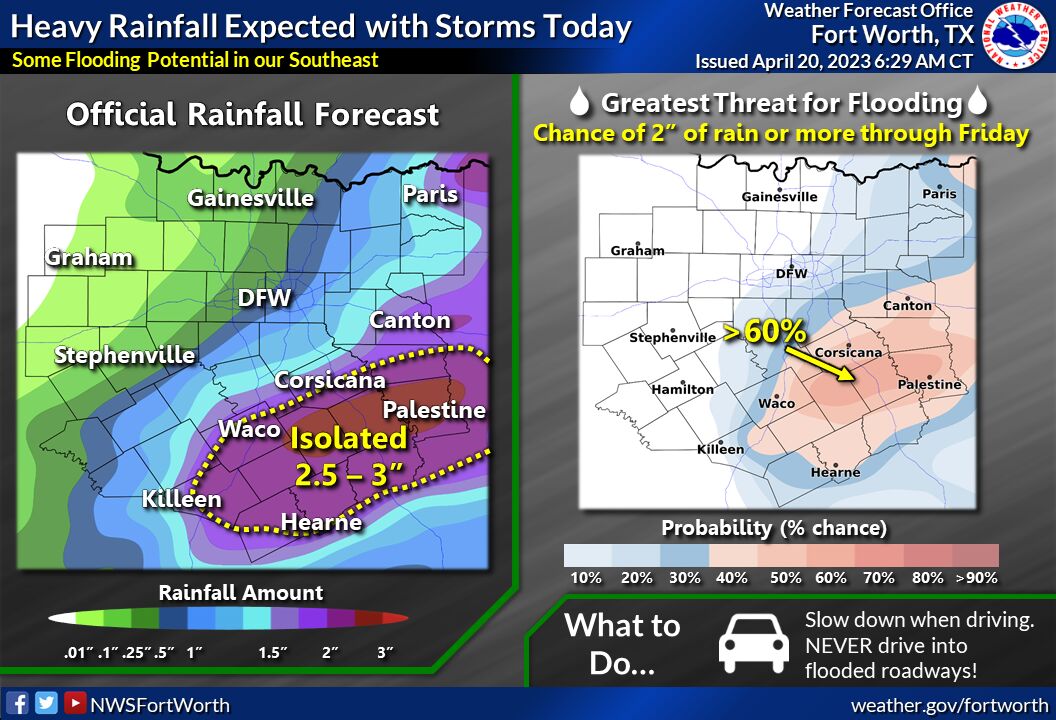
Lampasas County can expect heavy rainfall, hail and strong wind this afternoon, according to National Weather Service meteorologists.
At 1:50 p.m., the NWS issued a hazardous weather outlook and a severe thunderstorm watch for Lampasas, Coryell, Bell, Hamilton and surrounding counties.
“Scattered to numerous thunderstorms will pose a threat for large hail, damaging winds, and heavy rain across much of North and Central Texas,” the outlook read. “The tornado threat is low, but not zero. Flash flooding is possible across parts of Central Texas.”
The National Weather Service Dallas/Fort Worth posted on social media that thunderstorms and rainfall could begin as early as 2 p.m., with large hail and damaging winds being the primary threats.
The NWS daily forecast stated that chance of precipitation for Lampasas County is at 80%, rainfall amounts between a tenth and a quarter of an inch can be expected, with larger amounts of rainfall possible due to the scattered thunderstorms.
