

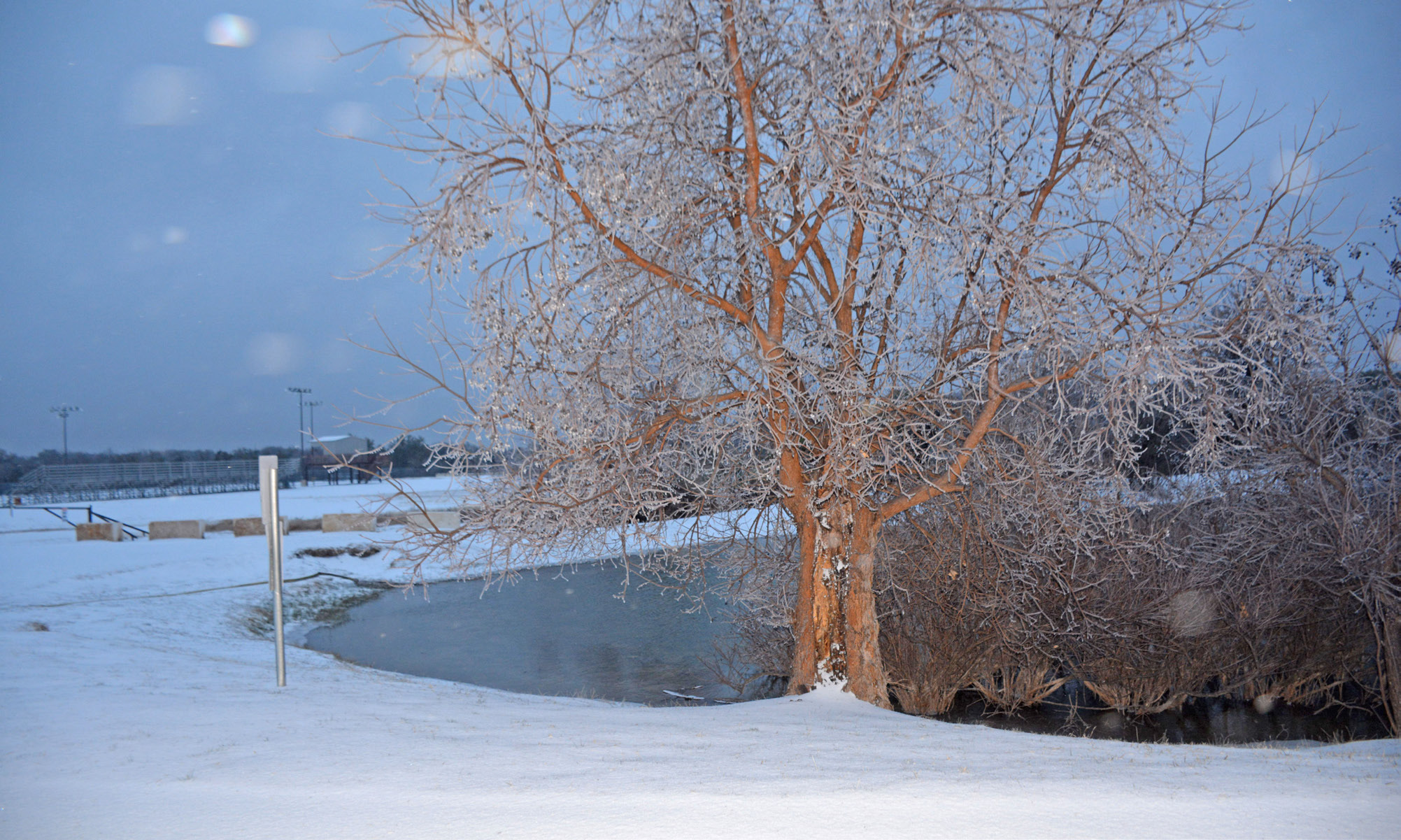

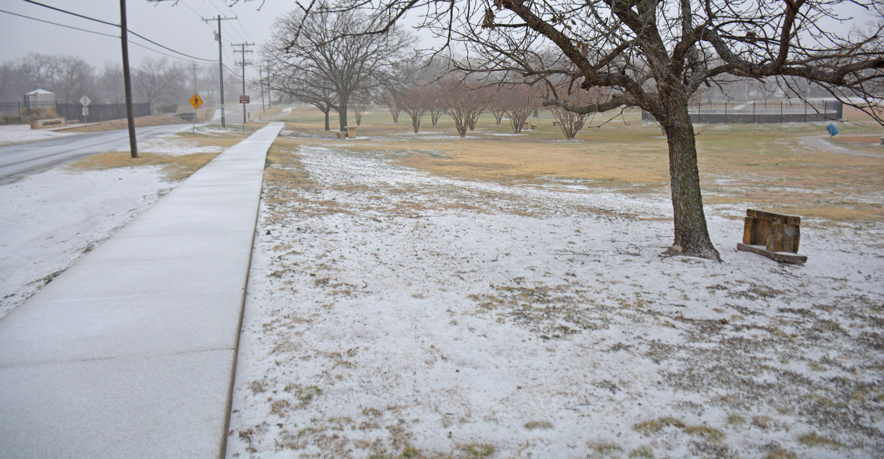
A winter storm gripped nearly two thirds of the nation over the weekend, plunging Lampasas’ temperatures into the low teens on Sunday with a forecast windchill of -4 Farenheit. An ice-snow mixture that developed early Saturday morning led to deteriorating road conditions, and the city’s busiest intersections were nearly deserted by the next day.
Weather forecasters had warned of potentially “catastrophic” freezing rain across Central, North and East Texas. But the state’s grid held strong through the weekend despite some local outages reported by Hamilton County Electric Co-op and Pedernales Electric Co-op.
Friday’s rainfall of 0.44 inches (at an LCRA station near Nix) fell while temperatures were well above freezing, helping to avoid the worst-case ice accumulation that some feared would strain power lines.
That rain broke a nearly two-month streak of no measurable precipitation.
Warm ground temperatures also helped melt the earliest arrival of snow and sleet Saturday morning, but by mid-day frozen precipitation accumulated in downtown.
Lampasas Independent School District and Lometa ISD announced on Sunday that Monday’s classes were canceled. County Judge Randy Hoyer opted to close all county offices on Monday. The Lampasas County Commissioners Court meeting and Lampasas City Council meeting, both scheduled for Monday, are postponed until Feb. 2. The city of Kempner posted on social media that the Isenhour/ Clark Municipal Building would be closed Monday as icy conditions are expected to persist, but that normal hours would resume the next day.
At press time, the National Weather Service indicated daytime temperatures would warm well above freezing Jan. 27 and Jan. 28 and peak at 52 by Thursday, while hard freezes would continue most nights this week. Friday and Saturday are expected to cool into the 40s for the highs and upper teens to 20s for overnight lows. Despite some uncertainty in the forecast, drier weather appears likely for the next several days.
At 11 degrees Sunday morning, Lampasas briefly was colder than notoriously snowy Cleveland, Ohio, (13 degrees), although brutal cold and heavy snow were working their way into the eastern U.S. as precipitation eased up in Texas. Just a few days earlier, Lampasas had reached the 70s, continuing an unusually warm trend that has prevailed most of the winter. Pedernales Electric Co-op reported 14 outages affecting a small fraction of its customers, including near Marble Falls and Liberty Hill, as of Sunday mid-morning, while 99.88% of meters still had power.
Hamilton Electric Co-op showed six outages in its area at the same time, including an area northwest of Kempner near the Lampasas River, with power still on for 98.6% of its customers.
The Texas Department of Transportation’s website showed ice or snow was affecting the majority of state highways, from the Panhandle to South Texas near Victoria. But complete closures were fewer, with the nearest one reported at SL 15 near Goldthwaite, as low-lying cables were obstructing the roadway, and it remained closed Monday morning.
Lampasas’ long-term average temperature for late January is around 61 for the high and 35 for the low, according to weather.com.
Sunday’s temperature was close to a record for that date (9 degrees) but well above the city’s all-time low of minus 12 F. Dispatch Record archives show that in the infamous 2021 Winter Storm Uri, temperatures bottomed out at 3 degrees during a 10-day stretch of continuous sub-freezing weather.
